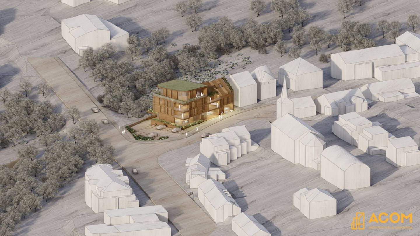
The land covered by this PAP, the specific development plan for the site, sits in a central residential area of Walferdange and extends over slightly less than 2.5 hectares. Most of it lies on the second line behind the route de Diekirch to the east, and it is also served by the rue Général Patton to the west and the rue Op der Tonn to the south, which gives the future district several points of access.
The plan turns an unused parcel into a residential quarter that reads as part of the existing town rather than an addition to it. It builds on land already inside the urban perimeter instead of extending into open ground, which limits sprawl, spares soil and keeps growth within the neighbourhood that is already there. Density stays moderate across two distinct zones: a mixed urban zone covering roughly a third of the site along the route de Diekirch, and a housing zone over the remainder.
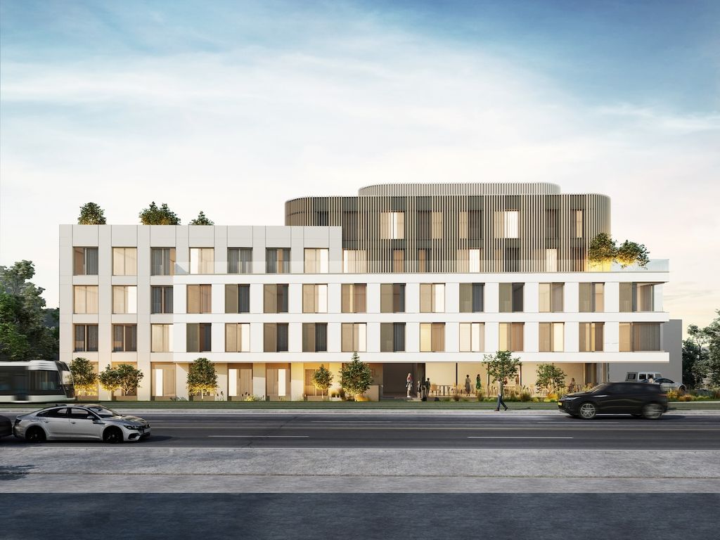
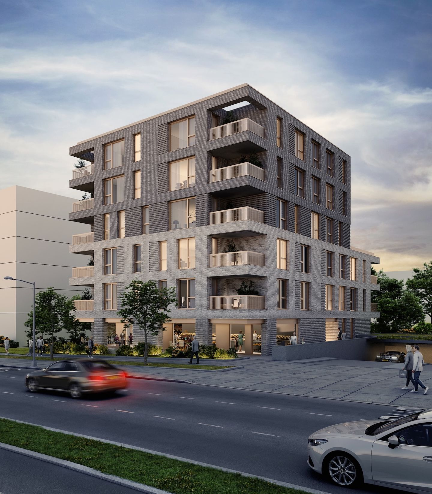
The programme deliberately mixes building types, combining residential and mixed-use blocks with detached and terraced houses. Around eleven buildings hold 106 apartments of varying sizes, with ground-floor space set aside for independent professionals and offices so that the district works during the day as well as in the evening. Twenty-six houses, most of them terraced, occupy the quieter parts of the site.
The urban concept holds built volume and open space in balance, keeping views through the site so that the massing stays light and the perspectives open. The position of the buildings and the layout of streets and green space were drawn to favour walking, to knit the new streets into the existing fabric and to keep public amenities within easy reach.